html5 templates

CloudEx


Point Cloud Visualisation and Data Extraction

Mobirise

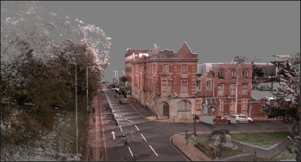
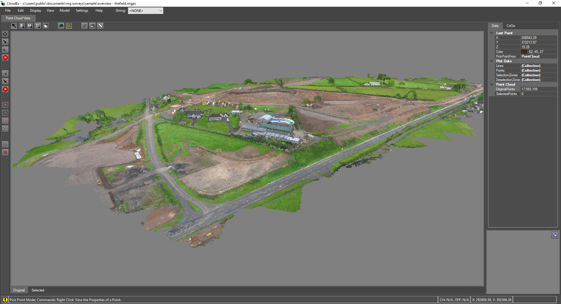
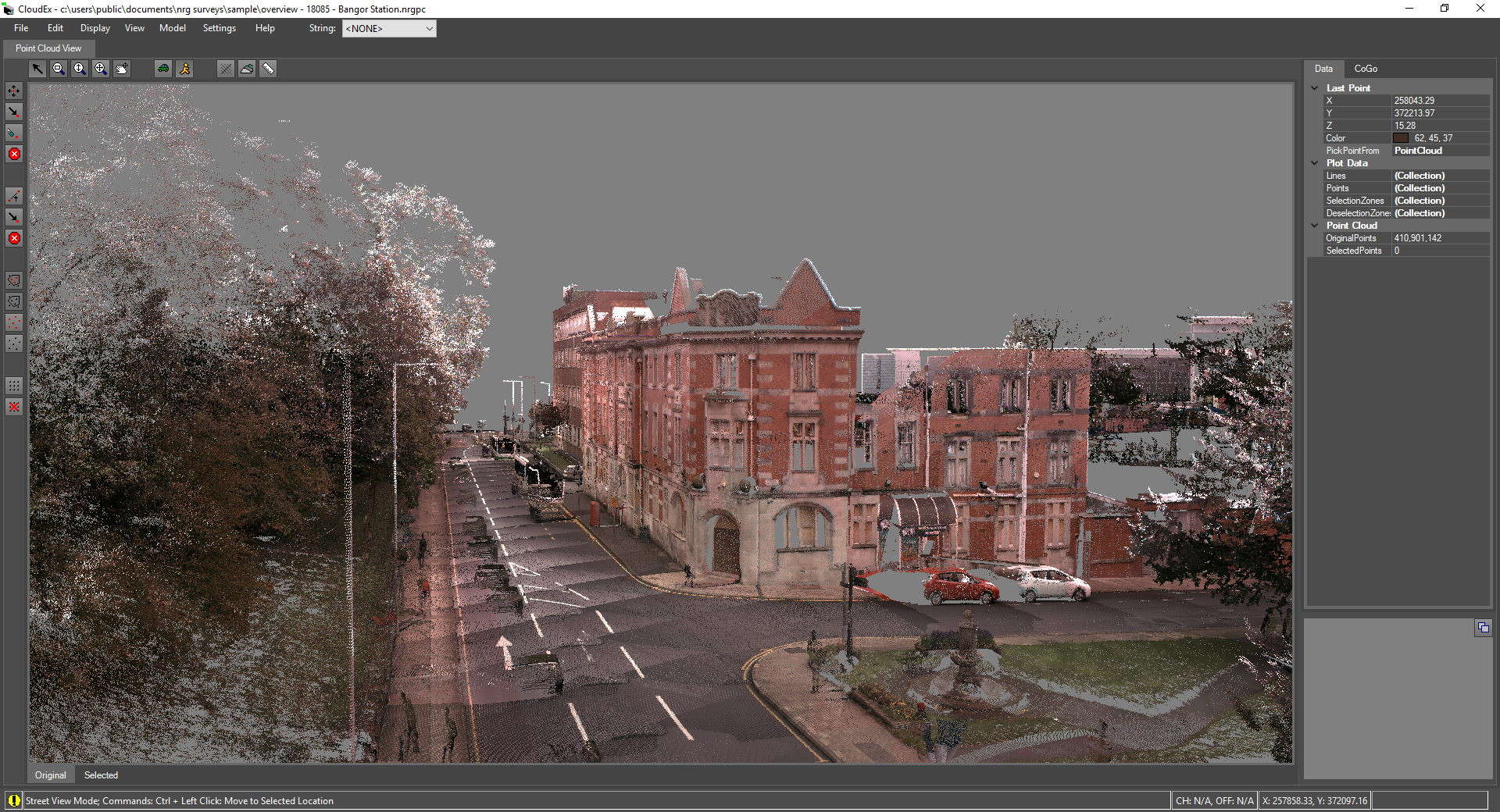
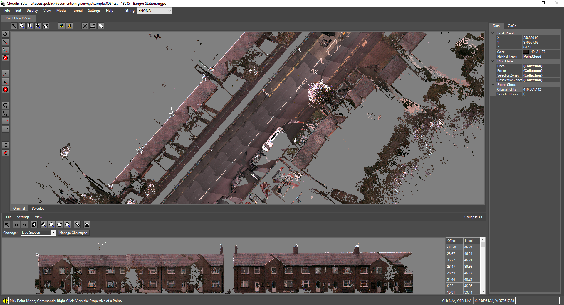
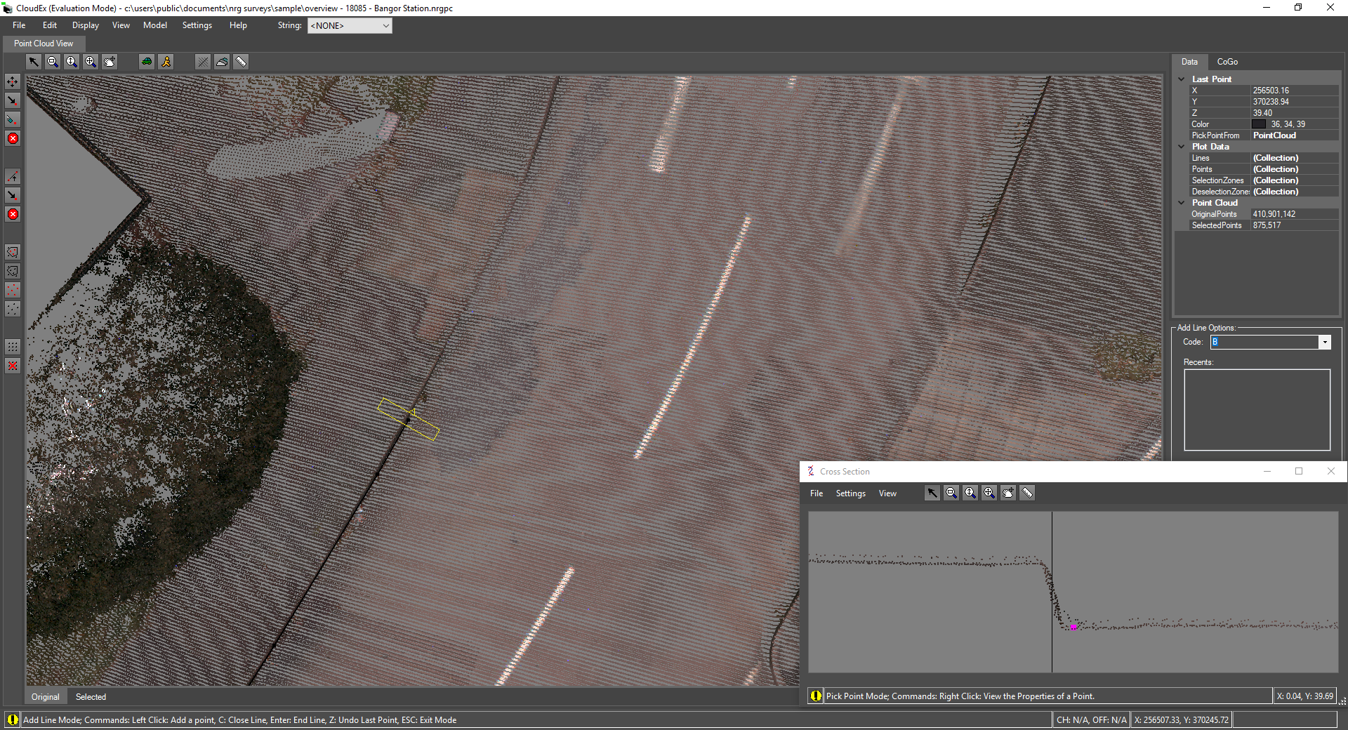
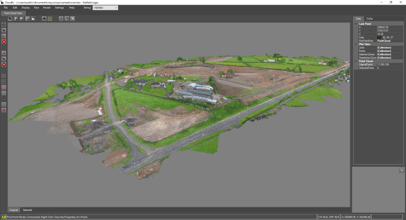
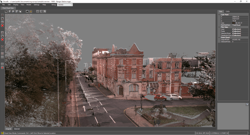
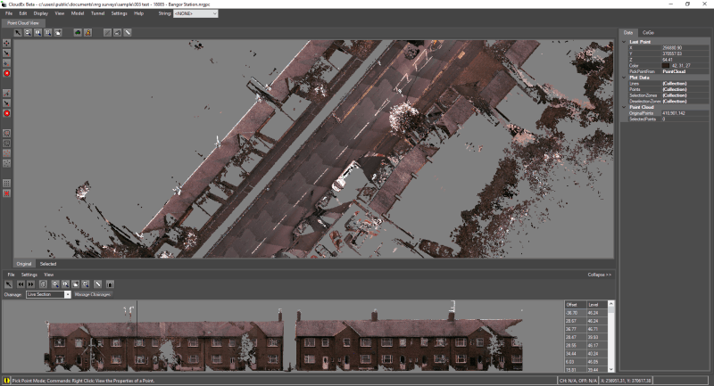
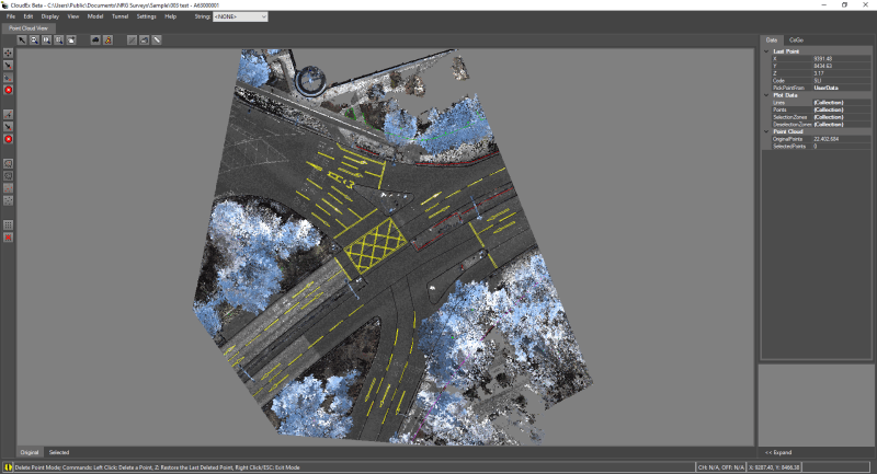
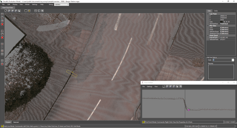
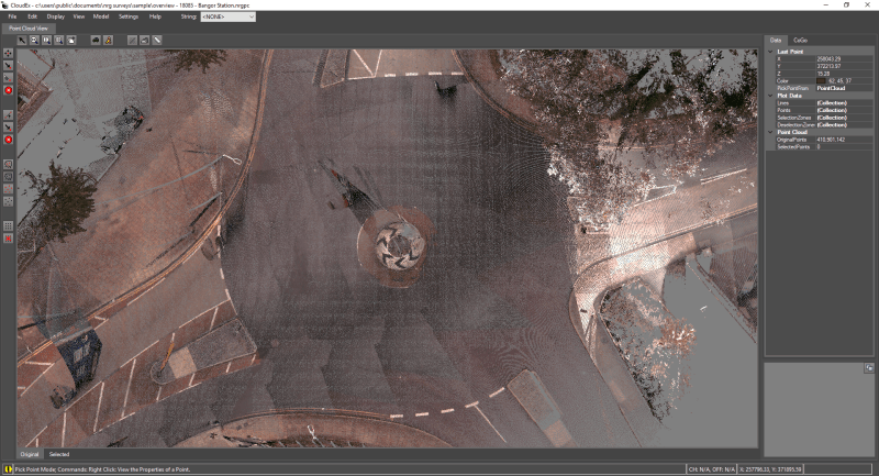
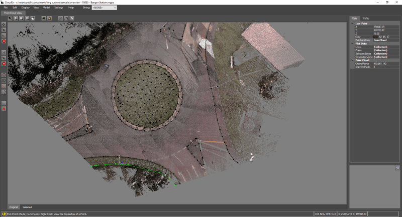
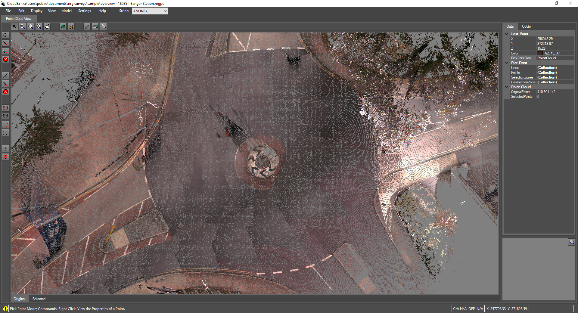
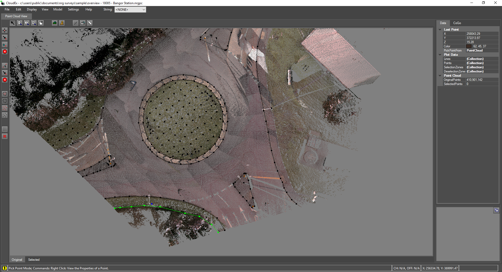
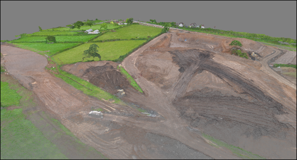
CloudEx provides a fast and memory efficient point cloud viewer with a wide range of tools and features to provide a streamlined digitization process.

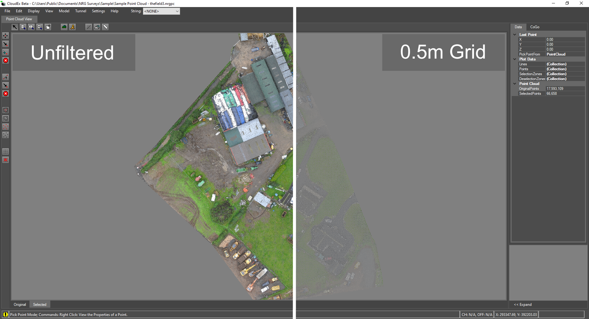
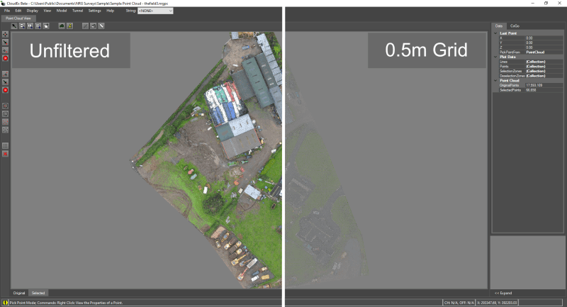
Import point clouds into CloudEx from a variety of common file formats with a short one time conversion process to optimize the data set. 


Mobirise

Built with performance in mind CloudEx boasts a powerful and unique octree implementation allowing for near instant loading of converted point clouds no matter the number of points.  


Digitize with software optimized for speed and precision

Import most common point cloud formats (.las, .laz, .e57, .xyz, .pts and ASCII formats).

Street view / drive through mode let you quickly traverse the model allowing for rapid point inspection / extraction.

Mobirise

Take sections through a point cloud or generate sections along an alignment.

Mobirise

Digitize point cloud features into a topographical survey with our rapid point picking technology.                    

Mobirise

Live sections as you point pick allowing for greater precision in areas of steep elevation.

Mobirise

Supports the selection and thinning of areas within a point cloud to provide a more managable data set for export.


Gallery