NRG Civil Engineering Software
NRG is a suite of programmes developed for Geospatial Engineers. It is widely used by Civil Engineers, Land Surveyors, Setting Out Engineers, Quantity Surveyors and Estimators for Topographic Mapping, Setting Out, Design, Earthworks Volumes, Tunnelling, Deformation Monitoring and much more
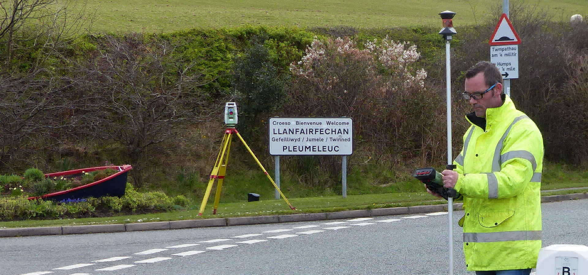
Topographic Mapping
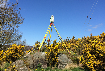
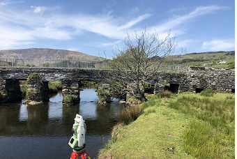
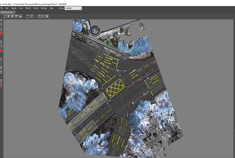
Compatible with all surveying instruments NRG makes light work of control traversing, resections and processing of field observations to prepare the most comprehensive and detailed plans whether they are for title deeds or major infrastructure

Earthworks
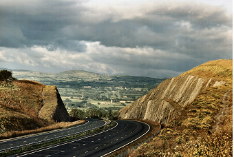
From stockpiles to preparation of bills of quantities, NRG gives you unparalleled ease and sophistication in not just calculating quantities but presenting them clearly and professionally
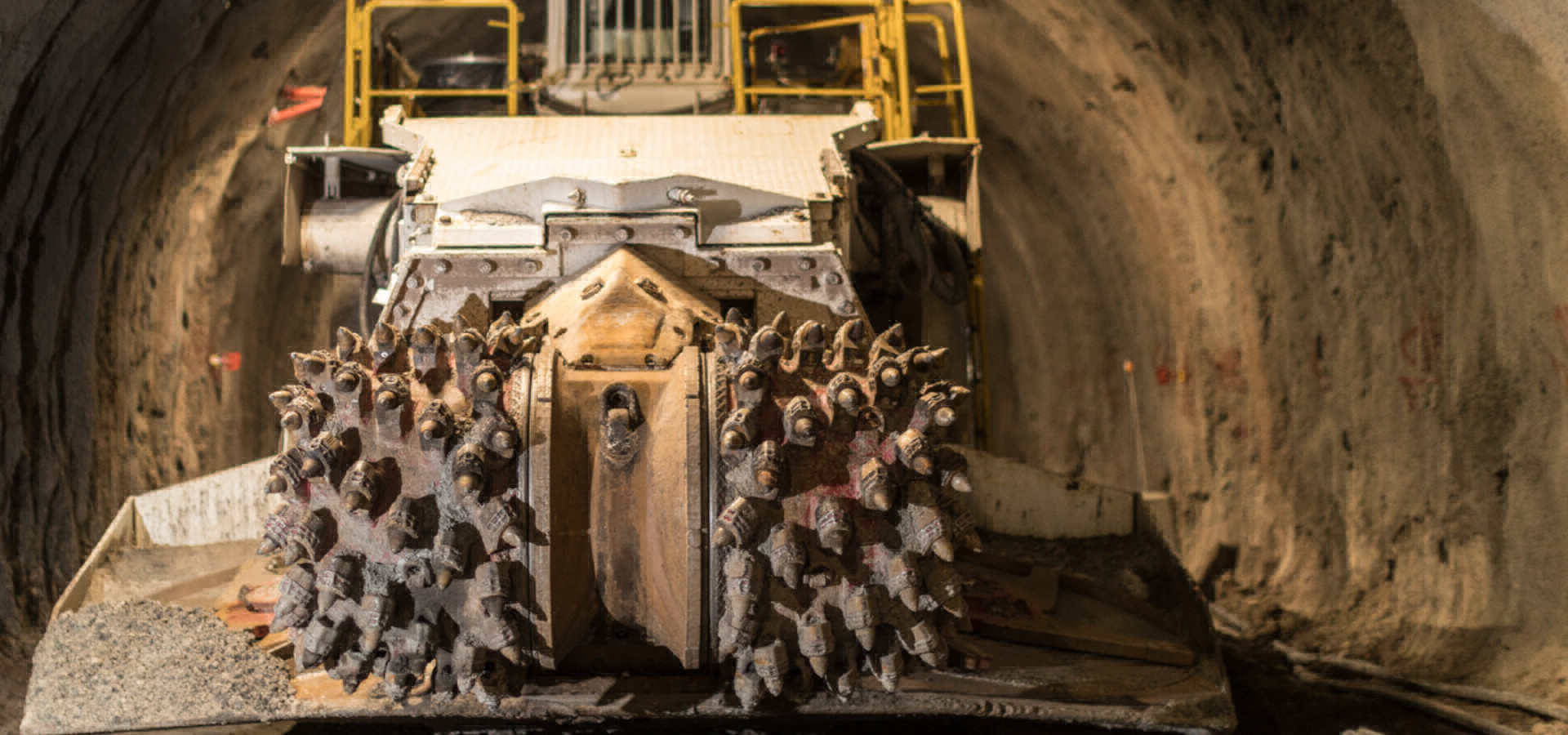
Tunnelling
For Hard rock or Shield driven tunnels, NRG is used to check as built alignments, clearances to kinematic envelopes as well as quantities of overbreak and underbreak

Setting Out
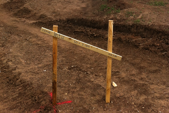
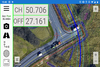
For the unsung hero’s of construction whose only recognition is the mistakes they make and who usually under pressure have to make sense of a wide range of complicated design information in an ever growing variety of formats and go out in all weathers and conditions to translate that into something buildable. The software gives you the tools to do it

Drainage
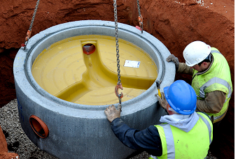
Developed from years of contracting experience, pricing for drainage schemes, preparing bills of quantities, taking off materials, controlling construction, setting out, recording as builts, clash detection
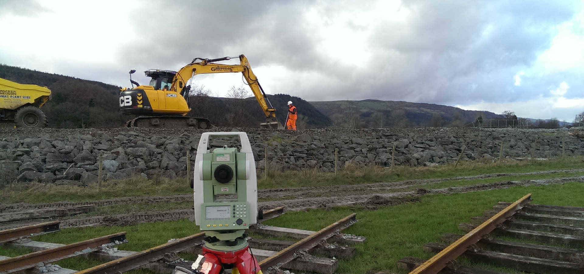
Deformation Monitoring
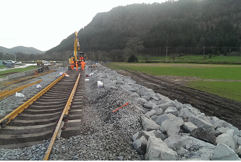
Real time deformation monitoring giving remote control to instruments in the field and presenting the results in easily understandable formats such as Isopachs, Long Sections, Cross Sections with specialised outputs for track monitoring showing lifts slews and twists and tunnelling showing convergence and movements in relation to the tunnel heading
